

Anguilla Cays island
Ultimate guide (June 2026)
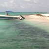
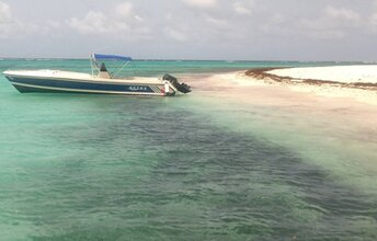
Anguilla Cays is an uninhabited island in the southeast of Cay Sal Bank atoll, Bahamas. It is the largest island in the atoll. In addition to the main island, there are also long narrow rocky islands nearby. As for beaches and attractions, this is not very interesting place. It makes sense to visit it only in case, if you collect rare islands without mass tourism. Shore and seabed: sand, rocks. [edit]
Coordinates: 23.494911, -79.516829
See also: Cay Sal Bank atoll
Hotels [edit]
There are no hotels in Anguilla Cays.
How to get there [edit]
Fly to Nassau international airport (NAS). Next get by speedboat.
When to go [edit]
The best time for a holiday in the Bahamas is a dry season in the winter half of the year. However, the summer is also good. Since sea water is much warmer, and there are no crowds of tourists.Rainfall, mm

Water temperature, C
Temperature, C
Humidity, %
Wind speed, meter/sec
See also other beaches nearby:
100 km to the south-east ↘